Topo de Coroa Volcano
Topo de Coroa Volcano
Cape Verde's second-highest summit at 1,979 metres, Topo de Coroa can be climbed in a day from the village of Curral das Vacas on Santo Antão island.
Topo de Coroa is the highest point on Santo Antão island and the second-highest mountain in Cape Verde, after Pico do Fogo. Its 1,979-metre summit can be reached in a single day from the village of Curral das Vacas, in the northwest of the island.
Why visit Topo de Coroa
This volcanic mountain offers mineral-rich hiking terrain, away from Santo Antão's usual tourist circuits. Its name translates as "crown peak" or "crown pinnacle," referencing the rounded silhouette of the crater. The area has been granted natural park status to protect remarkable endemic flora: according to official surveys, the massif is home to around 61% of Cape Verde's endemic flowering plants.
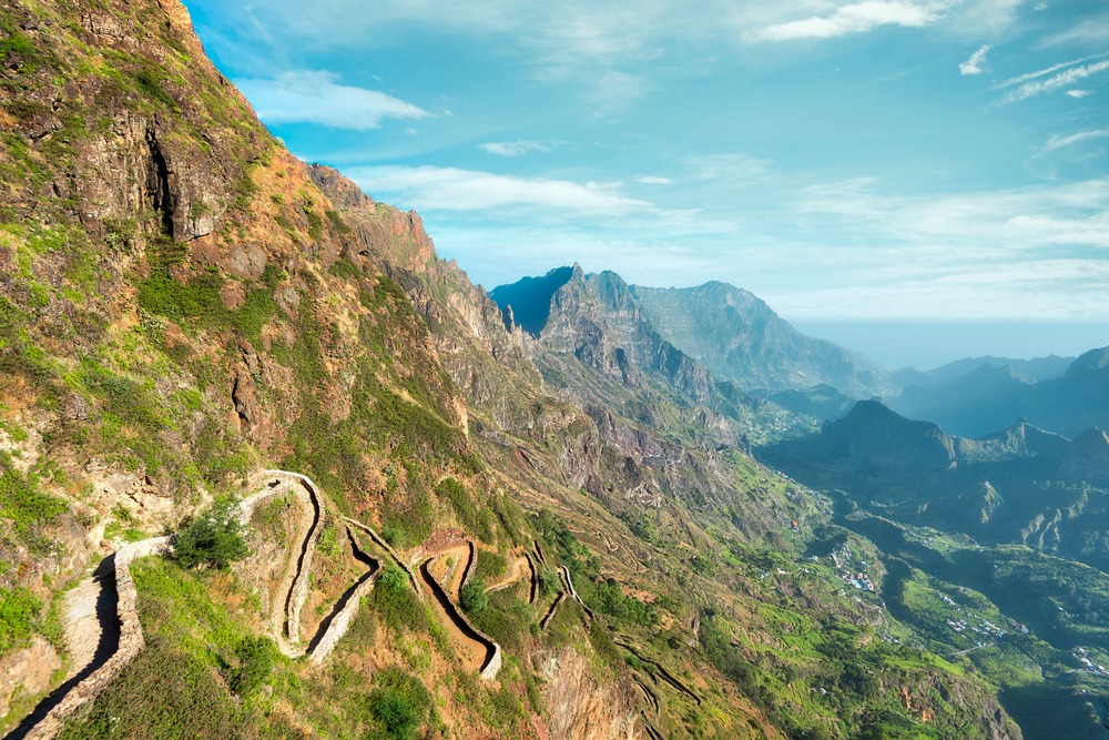
The climb remains accessible to hikers in good physical condition, though the trail becomes difficult to follow near the summit. The reward: sweeping views over Santo Antão's northern coast, the sea, and the neighbouring island of São Vicente.
Geological history
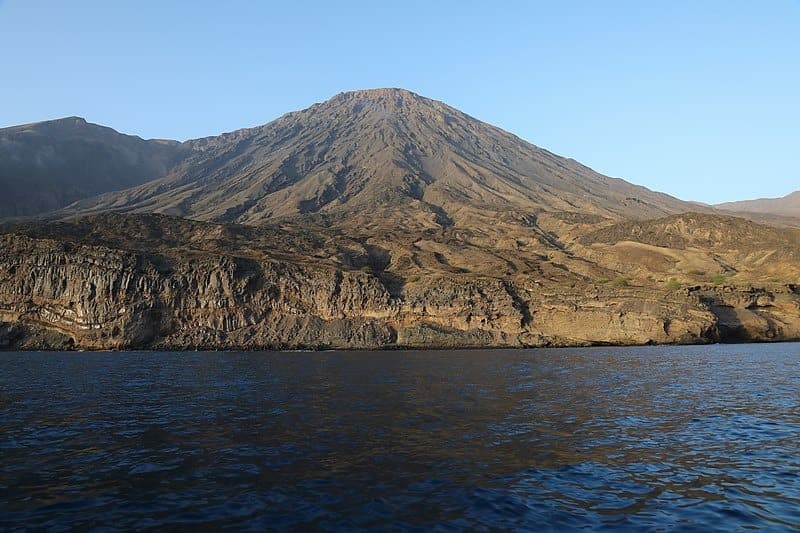
Topo de Coroa is an ancient volcanic formation whose last eruption dates back approximately 200,000 years. This event altered the nearby coastline, narrowing Trigo Bay by about 500 metres. A large section of the western flank is covered with lava flows from this period.
The summit's altitude has varied over millennia. During the last ice age, Topo de Coroa reached around 2,100 metres. Some 5,000 years ago, erosion driven by rising sea levels and changing climate conditions lowered its altitude below 2,000 metres, down to today's elevation of 1,979 metres.
What to see on the trail
The route starting from Curral das Vacas crosses several notable features before reaching the summit:
- The Covão de Bordeira crater, a wide depression visible shortly after departure
- The secondary volcanic cone of Morro de Cavoazinho
- Open plateaus interspersed with deep ravines
- Troglodytic dwellings carved into rock, testament to ancient rural settlement
- The well-preserved summit crater, crowning the ascent
Vegetation is typical of Cape Verde's high-altitude zones: no trees, but low shrubs, thorny bushes, and scattered herbaceous plants on volcanic stone. The contrast between bare slopes and the sea below constitutes the landscape's defining character.
Practical information
The ascent and descent are completed in one day. The elevation gain is not technically demanding, but requires stamina and proper equipment: ankle-supporting hiking boots, sun protection, two to three litres of water, snacks, and a windproof layer for the summit.
Trail marking is minimal. On the upper section, the path is marked only by cairns (small stone stacks) and becomes difficult to read in misty conditions. Accompanying a local guide is strongly recommended: getting lost on this massif is common.
When to go
Santo Antão experiences two seasons. The dry season, from late November to early July, is ideal for hiking: clear visibility, passable trails, and cool temperatures at altitude. The rainy season, from late July to early November, complicates the climb with frequent fog at the summit and water runoff on the mineral slopes.
How to get there
Access involves several stages:
- Reach São Vicente: Mindelo airport is served by domestic flights from other Cape Verde islands, and international flights via Lisbon
- Cross to Santo Antão: a daily ferry connects Mindelo to Porto Novo in around an hour
- Get to Curral das Vacas: from Porto Novo or Ribeira Grande, shared taxi (aluguer) or private taxi will take you to the starting village
What to see nearby
Santo Antão and neighbouring São Vicente island contain several sites worth visiting before or after Topo de Coroa:
- The Cova crater, another major volcanic remnant on Santo Antão, more accessible
- Monte Trigo, an isolated fishing village at the foot of the western massif
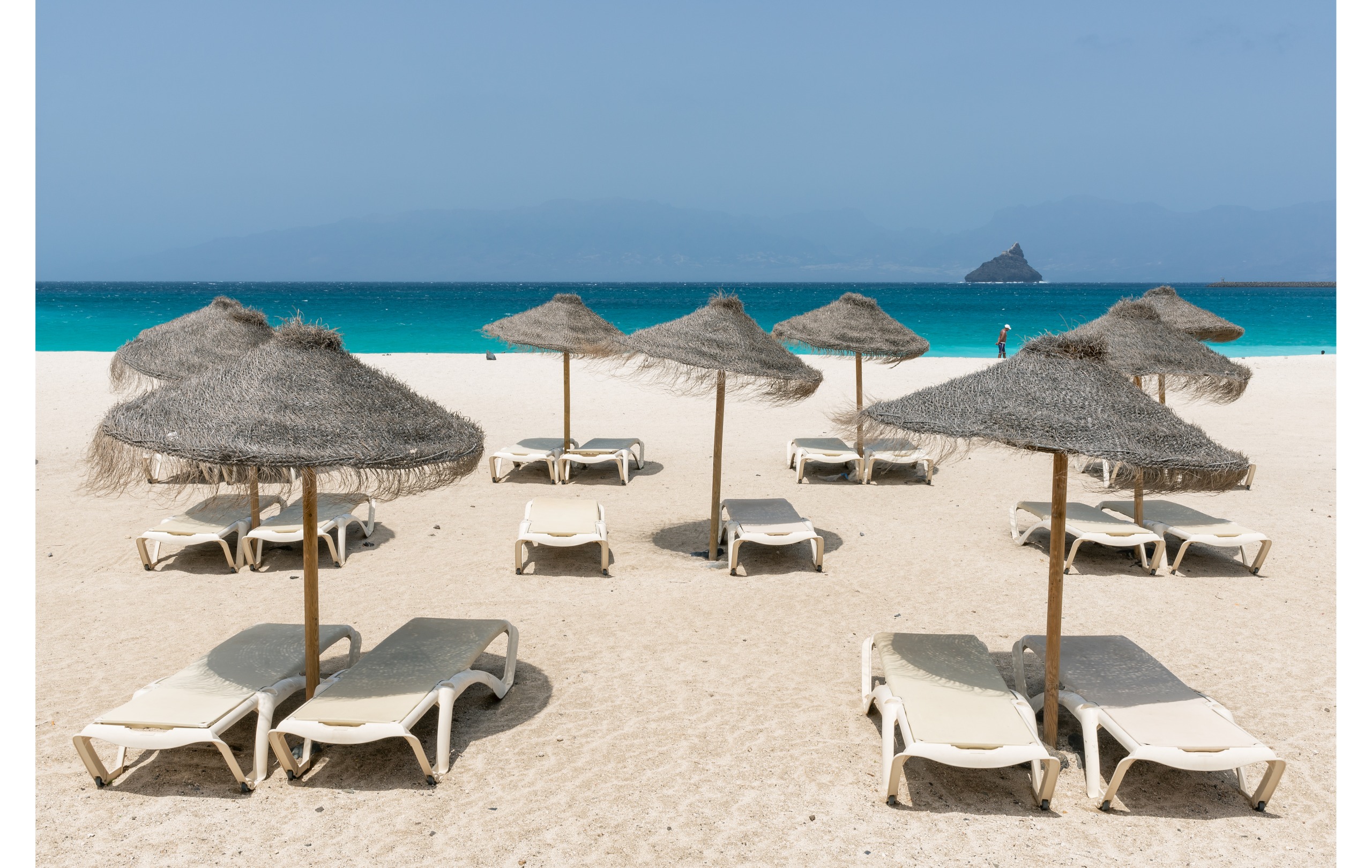
- Laginha beach in Mindelo, a classic stop before or after the crossing
- Tarrafal, on Santiago island, to extend a multi-island circuit
Frequently asked questions
Frequently asked questions
The summit stands at 1,979 metres, making it Cape Verde's second-highest mountain after Pico do Fogo.
The route is not technically demanding, but requires stamina for the elevation gain and good terrain reading near the summit, where the trail is marked only by cairns.
Yes, an experienced guide is strongly recommended. Trail marking becomes almost non-existent approaching the crater, and getting lost is common, particularly in misty weather.
The round trip from Curral das Vacas is completed in one day. Allow a full day of hiking, with an early start recommended for the best visibility.
The island has no airport. You must reach Mindelo on São Vicente island (by plane or ferry) then take the daily ferry to Porto Novo on Santo Antão.
Plan your trip
Topo de Coroa fits into a broader hiking circuit across Santo Antão, the archipelago's most mountainous island. To organise your itinerary and combine the climb with other sites in the archipelago, consult our Cape Verde trips.
Interested in this visit?
We can include it in your personalised itinerary.